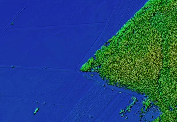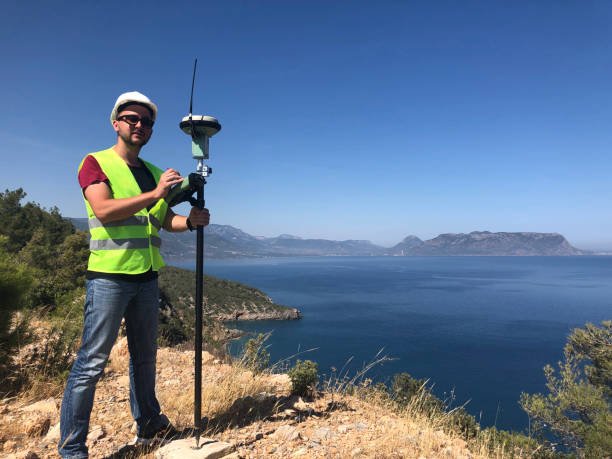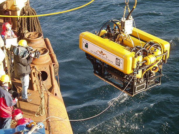


Geophysical surveys use high-tech equipment like Multibeam, Sidescan sonars, sub bottom profilers, single beam echo sounders etc to capture accurate underground iformation to map subsea topography and structures. It involves measuring factors like bathymetry to study the depths of water objects. These surveys provide valuable information on earth’s composition, terrain, resources, and environmental characteristics aiding in developing effective management strategies.

"We offer a variety of survey equipment for rental, including GPS, Total Stations, Single-beam Echosounders, and Side-scan Sonars. Moreover, our services comprise the installation and calibration of survey and underwater depth measurement sensors on Remotely Operated Underwater Vehicles (ROVs). This enables the collection of precise and comprehensive underwater terrain and geophysical data."

We have the expertise and experience in various areas of project development, including construction, surveying, and project management. Our highly qualified and skilled professionals have accomplished numerous successful projects, making us the ideal partner to help you achieve the best outcomes for your project. We are passionate about creating amazing structures that meet your needs and exceed your expectations.
Equipped with state-of-the-art surveying technologies and specialized equipment, ensuring precise and accurate data collection. such as well positioning, pipeline routing, Cable laying and platform construction
Conduct seabed and environmental surveys to identify potential hazards and ensure compliance with environmental regulations. By providing accurate information on seabed conditions, potential risks are mitigated, contributing to safer operations
Accurate survey data aids in optimizing costs by avoiding unnecessary rework or adjustments due to inaccuracies. Precise positioning of offshore infrastructure helps reduce the risk of costly deviations and ensures efficient use of resources
provide crucial data for project planning and design phases. By conducting detailed surveys, they assist clients in selecting optimal locations for exploration wells, drilling platforms, subsea infrastructure, and pipelines, leading to more successful and efficient project execution
Established in 2020, Azimuth Geosciences Private Limited has been committed to providing outstanding professional services. Our company’s fundamental goal is to elevate industry standards through nurturing people, technology, and expertise to provide customized solutions to our clients. With an approach centered on collaboration across sectors, disciplines, and communities, our company has become a recognizable name across multiple industry sectors.
Azimuth Geosciences is a progressive and innovative firm specializing in hydrographic surveying technologies worldwide, with a primary objective of accurately mapping the seabed for our esteemed clients’ company projects. At Azimuth Geosciences, we have an exceptional team of professionals with diverse areas of expertise, including geophysical, geotechnical, subsea asset inspections, diving, ROV, and construction support surveying. By consistently delivering high-quality surveying services to the oil and gas sector, we are committed to excellence and catering to our clients’ unique demands.
At our consulting firm, we boast a team of skilled professionals with a wealth of experience across diverse industries, ready to offer practical solutions for your projects. Our approach is pragmatic, relying on proven and evidence-based methods to achieve the best results. We embrace the Industry standard survey process for its ability to produce valuable data about your project and ensure we deliver comprehensive services that align with your specific needs. Moreover, we prioritize communication, guaranteeing Clinet is involved every step of the way. Our surveying methodology is meticulously documented, ensuring clients receive detailed information about the survey site, helping them address any identified concerns or characteristics. We have tackled even the most intricate projects, honing our craft to deliver top-notch results. We remain passionate about serving all your geophysical service needs by striving to be your most reliable and trusted partner, providing unrivaled quality throughout our collaborations.
Azimuth Geosciences is an experienced and reliable company specializing in providing top-notch survey solutions for your offshore projects. Our dedication to providing high-quality deliverables that meet client budget requirements makes us stand out from the crowd. We have a team of experts who are always ready to assist and answer any questions you may have, ensuring that you have a smooth and successful experience. We take pride in our commitment to our clients, and we work tirelessly to ensure we exceed expectations. We would love to partner with you and help you build with confidence, so please do not hesitate to contact us today to learn more about our services. We look forward to hearing from you soon!
