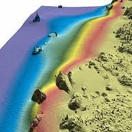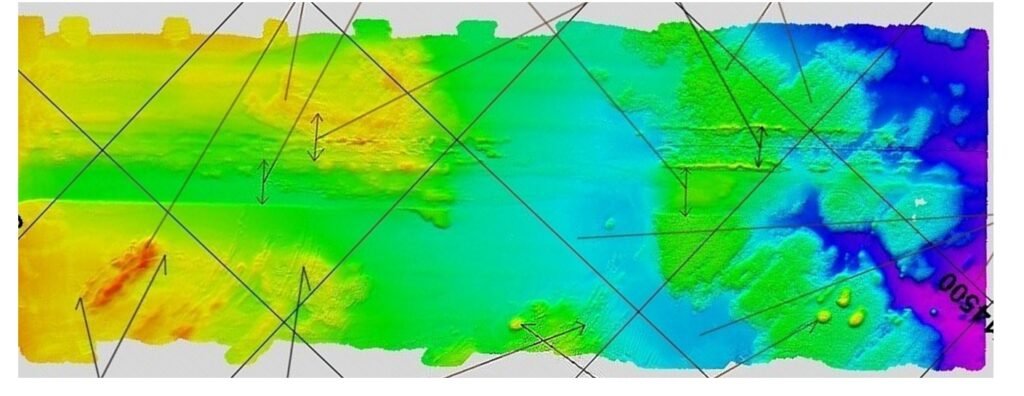

Conducting geophysical surveys to map and analyze subsurface geological features, identifying potential hydrocarbon reservoirs and geological hazards. This data assists in planning drilling operations and evaluating the feasibility of exploration targets.
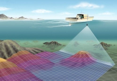
Mapping and charting the seabed and water depths to aid in safe navigation, positioning of offshore infrastructure, and ensuring compliance with marine regulations.
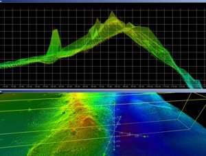
Processing and analyzing survey data to generate accurate and detailed reports, maps, and charts for informed decision-making
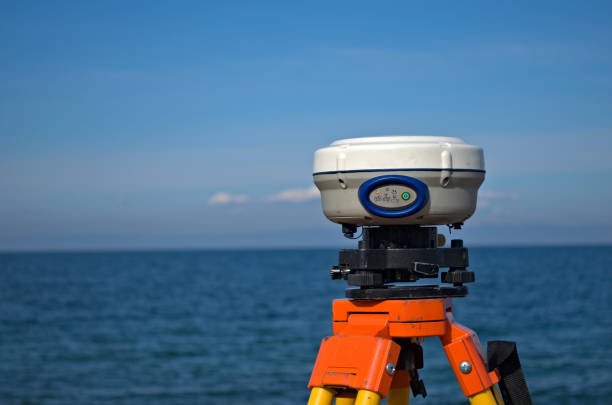
Providing precise positioning and navigation solutions for offshore assets, ensuring accurate installation and maintenance of equipment
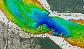
Measuring and mapping the depth of water bodies to support the design and installation of underwater infrastructure, such as pipelines and cables, charting cotours, subsea hazards, debris and subsea scans

Assessing and identifying the most suitable routes for subsea pipelines, considering factors like seabed conditions, subsea hazards, environmental impact, and navigational safety.
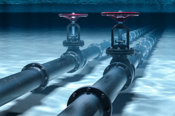
Providing ongoing monitoring and inspection services to ensure the structural integrity and safety of offshore assets throughout their operational life
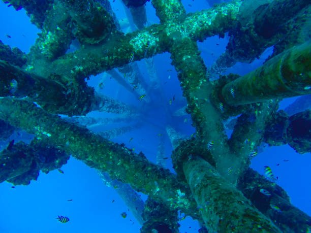
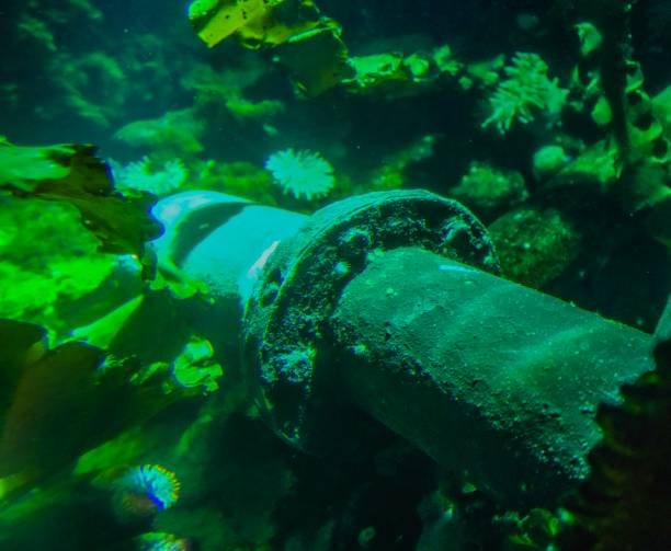
Conducting subsea inspections using Remote Operated Vehicles (ROVs) or Autonomous Underwater Vehicles (AUVs) to assess the condition and integrity of offshore infrastructure, such as pipelines, platforms, and subsea assets
Azimuth Geosciences Private Limites support our clients in the oil and gas industry throughout the project life cycle, from initial exploration and planning to ongoing asset management and environmental compliance. By providing specialized expertise and cutting-edge technology, offshore survey companies play a crucial role in enhancing safety, efficiency, and success in offshore operations.
